- Home
- /
- Member Home
- /
- Nordic
- /
- Refreshers
- /
- Cycle A
Online Meeting Info
MS Teams Link
Time: 1900-2100 Pacific Time (7-9PM PT)
Jan 9 Online Agenda
- 1900 The plan for tonight
- 1910 SAR principles with a little compass and gps
- 2010 Ropecraft: Knots, hitches, and bends
- 2015 Breakouts – practice and applications
- 2045 Recap
- 2055 Prepare for the Jan 16 session
Jan 16 Online Agenda
- 1900 The plan for tonight
- Reminder: MTR must complete ICS 100 and 700 by the end of the course
- 1910 Navigation basics – see the Cycle A list (below) 1-10 + Bonus 1,2
- 1950 Low angle rope rescue – Cycle A list 40-46
- 2030 Review ropecraft applications
- 2040 Recap and what next?
- Check list for on-the-hill check-offs
- Self asses?
- Peer/group assess?
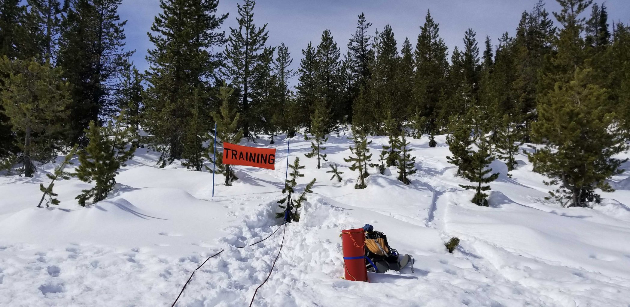
What to bring?
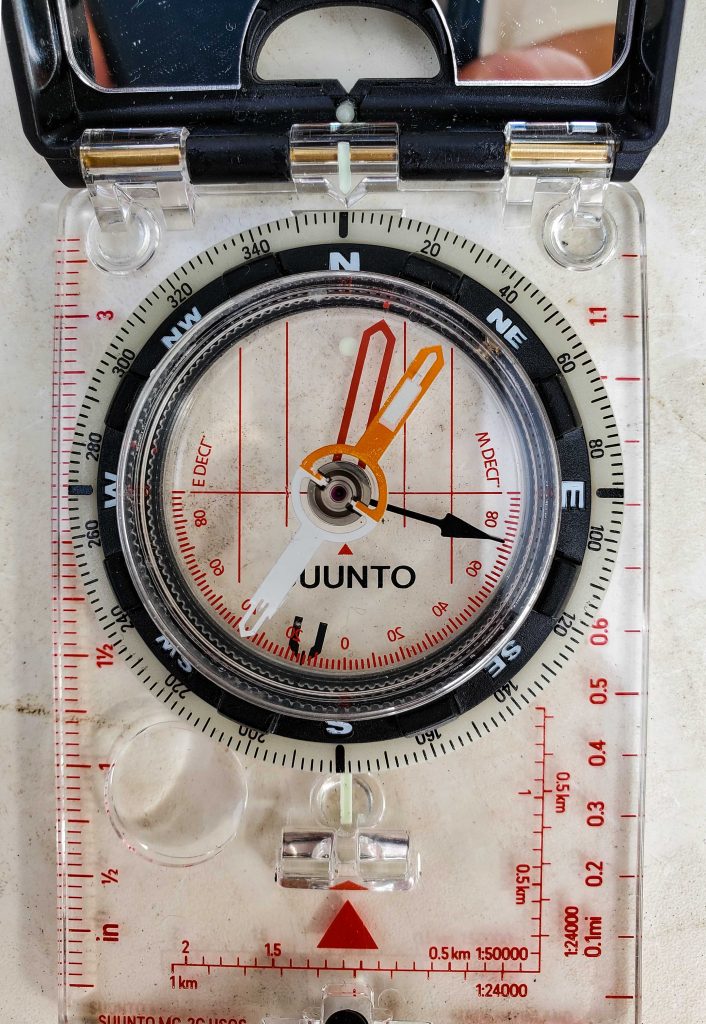
- compass
- ruler
- map
- gps
- 6′ of 5mm or larger cord or rope
Cycle A from the Nordic Refresher Cycles ABC Spreadsheet
Let us know if you find stale links. When suggesting links we are trying to avoid ad/popup heavy sites.
2020 Course: P024200013
| Skill No. | Category | Skill | More | More | Who— | Complete? |
| Station 1 (75 min.) | Navigation | . | ||||
| 1 | Navigation | Set declination on compass | REI | SPSP | Matt | |
| 2 | Navigation | Orient a map using a compass | AS | |||
| 3 | Navigation | Determine position using resectioning | 4O | |||
| 4 | Navigation | Follow a bearing, dead reckoning | AS | MTYT | ||
| 5 | Navigation | Determine position on map using UTM | MT | |||
| 6 | Navigation | Determine position on map using L/L | ||||
| 7 | Navigation | Determine position using Township and Range | TandR | |||
| 8 | Navigation | Determine position using GPS UTM and L/L coordinates | ||||
| 9 | Navigation | Manually enter a waypoint in a GPS receiver | eTrex | |||
| 10 | Navigation | Use the GPS “Go To” function | ||||
| Bonus 1 | Navigation | Using a topo, visualize and describe the terrain | ||||
| Bonus 2 | Navigation | Share your waypoints and tracks with others | ||||
| Station 2 (75 min.) | Rope Rescue (low angle) – with stokes | . | ||||
| 40 | Rope Rescue | Patrol’s rope rescue system (RRS) | SPSPRRS | |||
| 41 | Rope Rescue | Patient Access | ||||
| 42 | Rope Rescue | Secure Patient to RRS | ||||
| 43 | Rope Rescue | Z-Pully, Z-Drag System (Raising) | SPSPRRS | |||
| 44 | Rope Rescue | Switch to lowering | ||||
| 45 | Rope Rescue | Patrols lowering system | SPSPRRS | |||
| 46 | Rope Rescue | Switch to raising | ||||
| 16, 19, 20 | Knots | Water knot, Double fishermen’s, Prusik | WaterREI PrusikREI | 2xFishREI | ||
| 21, 22, 23 | Knots | Munter-mule-overhand combination, Figure 8’s, Load releasing hitch | ANMM EOTG OR | ANF8 ANLRH | ||
| Station 3 (75 min.) | Emergency Transport – Expedient Toboggan (Tarp and Ski’s) | . | ||||
| 29*, 30, | Toboggan | Emergency Transport – Tarp and Ski’s Toboggan | ||||
| 31, 16, 17 | Toboggan, Knots | Webbing harness, Water knot, Clove hitch | ||||
| 32, 20, 22 | Toboggan, Knots | Team Haul /Prusik,Figure 8 on bight and follow thru 8 | ANPK | ANF8FT | ||
| Local Protocols | Covered as one station with everybody during Patrol Meeting | . | ||||
| 47 | Local | Proper use of patrol radios | ||||
| 48 | Local | knowledge of patrol protocols – Interface with Area Mgt, SAR Teams, Law Enforcement, etc. | ||||
| 49 | Local | knowledge of patrol paperwork | ||||
| 50 | Local | discussion of skiing skills required…. | ||||
| * | Local | Avakanche Beacon, Probing, & Shovel Practice as per local need and protocol | ||||
| Bonus | SAR | Review the SPSP SAR docs | Docs | |||
| Bonus | Gear | What is in your patrol kit? |
Who are the SPSP Nordics for 2023-2024?
| Who | Nordic | Alpine | Instructor | Senior |
| Chip Dale | X | X | ||
| Larry Davis | X | X | OEC | Alpine, Nordic/BC, OEC |
| Doug Ebeling | X | X | ||
| Bob Freund | X | X | OEC | Nordic/BC, OEC |
| Anne Greenwood | X | X | OEC | Nordic/BC, OEC |
| Julie Nist | X | |||
| Matt Strauser | X | Nordic/BC, MTR | Nordic/BC, OEC | |
| Naomi Strauser | X |
Stop here. Below this link all is just a doodle
I (Matt) have not updated this page yet to match our new ABC cycle.
Plan: Alert, Locate, Access, Assess, Stabilize, Transport
Resources, area management, protocol
Can you move the patient(s)?
Staged transport?
Topics list:
- Map
- Compass
- GPS
- Building a fire
- Shelter in place
- Improvised splint
- Our patrol area
- SAR at Santiam Pass
Please review the following topics to check your personal knowledge, understanding and skill set.
Map:
https://www.rei.com/learn/expert-advice/topo-maps-how-to-use.html
Map skills, terms and definitions
- Legend
- Scale
- Magnetic declination
- Orientation
- Visualizing the terrain shapes and obstacles
- Picking routes
Compass:
https://www.rei.com/learn/expert-advice/navigation-basics.html
https://www.rei.com/learn/expert-advice/compass-declination.html
Compass skills, terms and definitions
GPS
url
Sharing your location, waypoint, track.
GPS on your phone/tablet – here is one guy’s overview of some of the choices, not required viewing: https://www.youtube.com/watch?v=elD1Eww7K_E
Building a fire
url
Shelter in place
url
Improvised splint
url
Our patrol area
Hoodoo
When you have completed the review:
Contact Matt for course credit.
Bonus
Sleds